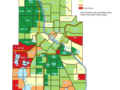
How do you turn ambitious community goals into measurable, everyday impacts?
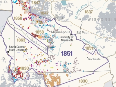
CURA is a co-sponsor of this year's Mapping Expo at LOGIS. This collaborative event brings together non-profit organizations and government entities to explore cutting-edge…