Gorman Lake Park and Dodd Road in Le Sueur County under water.
Turning the Tide on Flooding in the Cannon River Watershed is a spring 2026 project with the Cannon River Watershed Joint Powers Organization and Southeast…
Catalyzing community-driven change.
Gorman Lake Park and Dodd Road in Le Sueur County under water.
Turning the Tide on Flooding in the Cannon River Watershed is a spring 2026 project with the Cannon River Watershed Joint Powers Organization and Southeast…


The Census Bureau and American Community Survey (ACS) have been under attack from Congress and the White House for over a decade. Response rates (to this mandatory survey of population) are declining, funding for these critical programs are…

The Hennepin-University Partnership, a strategic alignment between Hennepin County and the University of Minnesota, has coordinated several recent projects and events bringing these two institutions together around pressing contemporary issues:
Hennepin County and the University of Minnesota are partnering to reach the ambitious goal of having every University student count in the 2020 Census.
The Hennepin-University Partnership at the Center for Urban and Regional Affairs connected Hennepin County's Census team with Kendre…
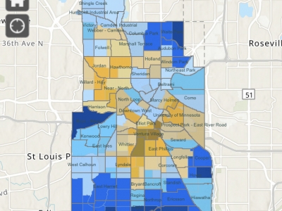
CURA’s Community GIS team created this map of Census 2020 return rates in Minneapolis and is updating it regularly through the 2020 collection period. Here is a St. Paul Census 2020 return rate map.
Click on an area to…
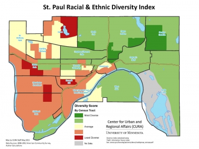
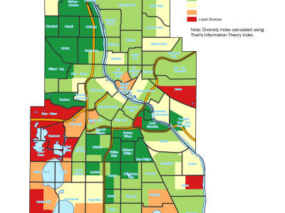
A couple of weeks ago, we posted a map of Minneapolis Racial/Ethnic Diversity Index. One of our Twitter followers very wisely requested we apply the same lens to the City of St. Paul. Here is that map.
What does this map show?This map shows the diversity score* of St. Paul…
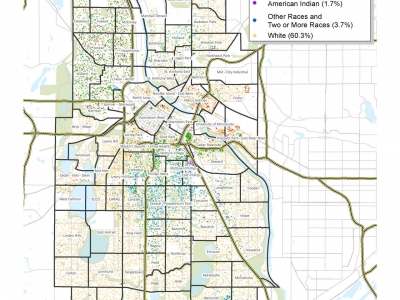
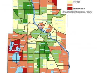
Racial and ethnic diversity in the City of Minneapolis, using 2010 Census data (block level). Created by CURA staff, 2012.